Authors: Lucia Gordon, Nikhil Behari, Samuel Collier, Elizabeth Bondi-Kelly, Jackson A. Killian, Catherine Ressijac, Peter Boucher, Andrew Davies, Milind Tambe
Abstract: Much of Earth’s charismatic megafauna is endangered by human activities,
particularly the rhino, which is at risk of extinction due to the poaching
crisis in Africa. Monitoring rhinos’ movement is crucial to their protection
but has unfortunately proven difficult because rhinos are elusive. Therefore,
instead of tracking rhinos, we propose the novel approach of mapping communal
defecation sites, called middens, which give information about rhinos’ spatial
behavior valuable to anti-poaching, management, and reintroduction efforts.
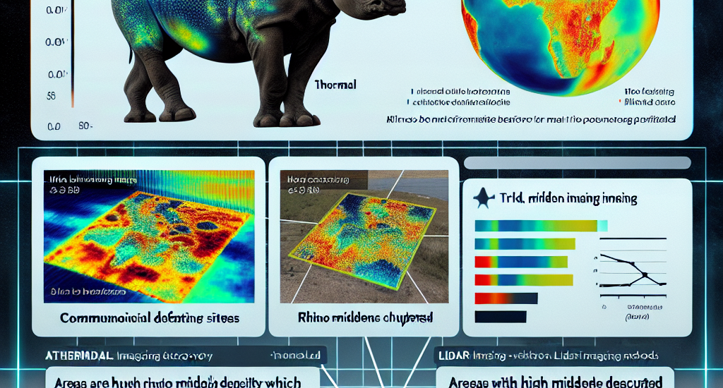
This paper provides the first-ever mapping of rhino midden locations by
building classifiers to detect them using remotely sensed thermal, RGB, and
LiDAR imagery in passive and active learning settings. As existing active
learning methods perform poorly due to the extreme class imbalance in our
dataset, we design MultimodAL, an active learning system employing a ranking
technique and multimodality to achieve competitive performance with passive
learning models with 94% fewer labels. Our methods could therefore save over 76
hours in labeling time when used on a similarly-sized dataset. Unexpectedly,
our midden map reveals that rhino middens are not randomly distributed
throughout the landscape; rather, they are clustered. Consequently, rangers
should be targeted at areas with high midden densities to strengthen
anti-poaching efforts, in line with UN Target 15.7.
Source: http://arxiv.org/abs/2409.18104v1


